
The Rideau Canal was built by the British Army as a means of getting materials in complete safety from Montreal to Kingston while the British and the Americans constantly skirmished along the St Lawrence River, the border between New York State and what was then parts of both Lower and Upper Canada (between Montreal and Kingston) and at the mouth of the Great Lakes (Lake Ontario) closest to Kingston.
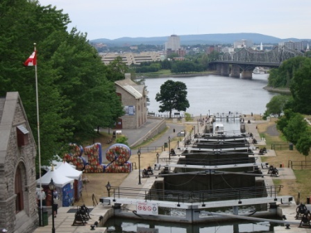
Construction started in 1826 and was completed in 1832 using workers who were brought to the Canadas mostly from Ireland, Wales and Scotland. The effort was overseen by Lieutenant Colonel John By of the Royal Engineers.

Lieutenant Colonel John By, builder of the Rideau Canal with ‘She Who Must be Obeyed’.
The Canal starts at the Cataraqui River, a tributary of the St Lawrence River, at the Eastern entrance of Lake Ontario in Kingston, Ontario and runs for about 125 miles to the north and east through the Rideau Lakes, which make up some of the most picturesque countryside in Eastern Canada to join the Ottawa River just below what is now Parliament Hill in downtown Ottawa.
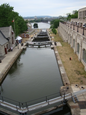
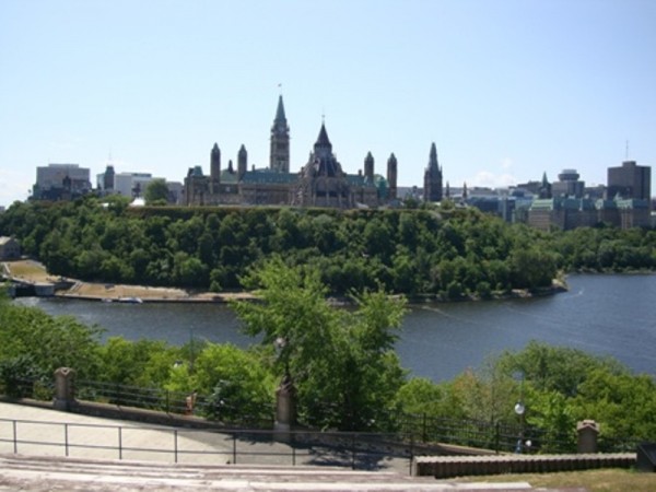
The Head of the Rideau Canal below Parliament Hill seen from Major’s Hill Park
Overlooking the terminus of the Canal in Ottawa, the final locks are overlooked by Major’s Hill Park, just behind the present day Chateau Laurier Hotel. In that park are two items of interest as it concerns the Canal.
1st: The ruins of the original home of Lt Colonel By, and
2nd: A full sized statue of Lt. Colonel By.
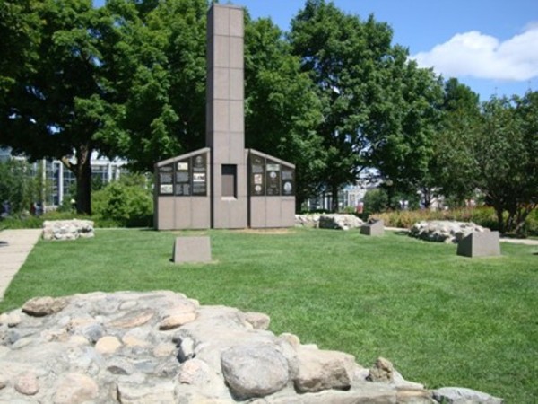
Ruins of Lt Colonel By’s Home, Major’s Hill Park, Ottawa
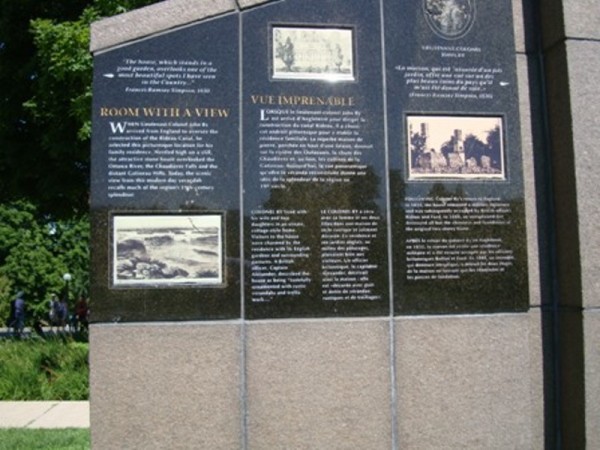
Interpretation Information, Lt Colonel By’s Home, Major’s Hill Park, Ottawa
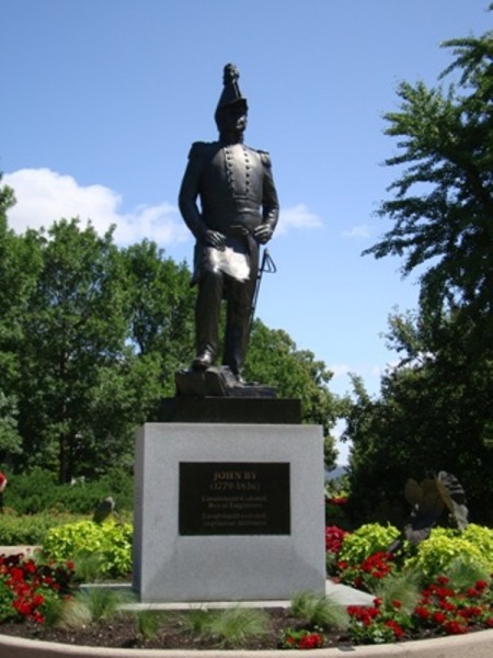
Lt Colonel John By, Major’s Hill Park, Ottawa
The location of the By home is truly beautiful, overlooking the junction of the Ottawa River and the Rideau Canal he built, just below the Parliament Buildings.
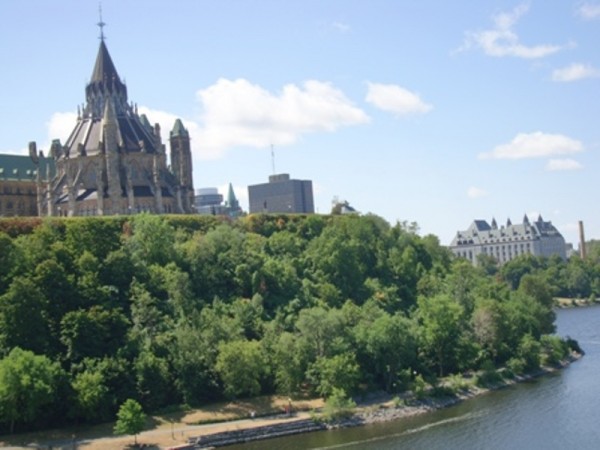
Magnificent view from By’s home on the Banks of the Ottawa River
In addition, just a few steps away is Nepean Point, just behind the present day National Gallery of Canada, where we find a statue of Samuel de Champlain, the French Explorer who explored and discovered this area of New France in 1613.
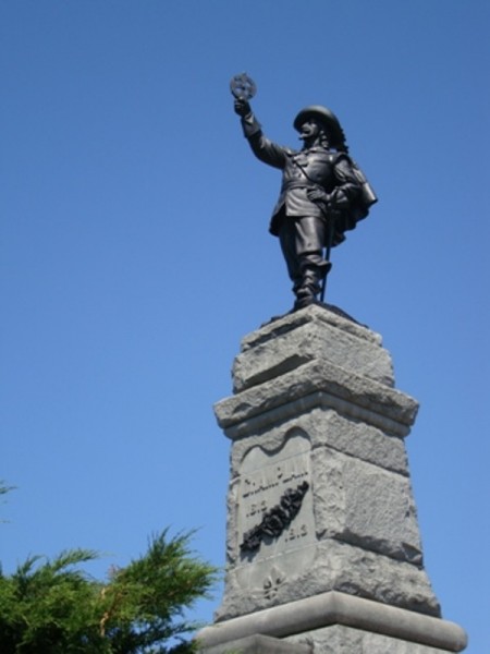
French Explorer Samuel de Champlain who discovered the area in 1613
Now, back to the Canal…
[Our report on the Rideau Canal is taken from: www.rideau-info.com with the permission of the site owner and author Ken Watson.]
What sets the Rideau apart from other lakes and river systems is its rich history. The oldest continuously operated canal in North America, the locks work today much as they did when first opened in 1832. Back then, the Rideau was a wilderness of lakes, rivers and swamps. In the middle of this wilderness, with many men dying from malaria, an engineering marvel was created, the Rideau Canal.
Ontario, a word which is believed to be derived from the Iroquois word “Skanadario”, which means “beautiful water” was first settled by Europeans in the 1600s. The first European to see Ontario may have been Etienne Brulé, who was sent in 1610 by Samuel de Champlain, the great French explorer and cartographer, to live with the Huron Indians and learn about the land they lived in. In 1613, Champlain himself made a journey up the Ottawa River and into the Ottawa River valley. In 1632, Champlain published the first map of Canada showing the Great Lakes.
The first European community was Sainte-Marie-aux-Hurons (Ste Marie Among the Hurons), a Jesuit mission, built in 1639, near present-day Midland. In the Rideau region, the first community was Kingston, established by Count Frontenac in 1673 as a fur trading post and fort (Ft. Cataraqui). Kingston’s strategic location eventually turned it into a military garrison, and the more elaborate Fort Frontenac was established. This fort was captured by the British in 1758. In 1784, the British negotiated land rights with the Mississauga Indians who occupied lands in the region, for lands on which to settle United Empire Loyalists. Kings Town as it was then known, became the capital of the region.
In the summer of 1783, the Rideau Lakes area was surveyed by the British Government (Lieutenant Gershom French) to determine its potential for settlement. The reports were favourable and so it was that in 1784 the first land grants were given to the United Empire Loyalists in the county of Leeds (central Rideau region). Many of these land grants were in the form of certificates of ownership for lots of 100 and 200 acres. Although many Loyalists did settle in the area, the region was so remote and inaccessible at the time, that many others never took up residence on their land. The loyalists who did not occupy the lands given to them hindered settlement for a number of years, since the land ownership were still in their names.
An example is Smiths Falls, located on land originally granted in 1786 to Major Thomas Smyth, a Loyalist, and named after him. Major Smyth did nothing with the land, not even visiting it, and in 1810, mortgaged it to a man in Boston. However payment was apparently never made, and assuming he still owned the land, Smyth, in 1823, over 35 years after the land had been given to him, built a small dam and sawmill at the falls.
Smyth’s ownership of the land was contested, and in 1824, Smyth lost a court case held in York (now Toronto). The land was sold at a sheriff’s sale in Brockville in 1825 to Charles Jones (who also owned the land near present day Jones Falls lockstation), who in turn sold it (for a tidy profit) to Abel Russell Ward. So, it was Abel Ward in 1826 who was the first to move to the area and actively start to build a settlement. The building of the Rideau Canal greatly expanded the settlement His settlement was first called Wardsville, later changed to Smyths Falls, and then to Smiths Falls. Smiths Falls was incorporated in 1882.
As we have seen, Kingston was the first major community in the region. By the late 1700s, several small settlements had sprung up in the Rideau region. Many of these settlements centered around rapids and falls on the Rideau where a water powered mill could be set up and used for the sawing of timber or the grinding of grain. Some of these early settlements became thriving communities, others faded into obscurity.
In 1784, the first mill was built at Kingston Mills. Built by the government, the “King’s Mill” was to serve settlers in the area. The establishment of this mill led to the first settlement along the southern Cataraqui River.
In 1790, Roger Stevens, the first settler on the Rideau River, built a cabin and cleared land on Lot 1 of Montague Township and the adjoining Lot 30 of Marlborough Township on the north shore of the Rideau River. Stevens built the first sawmill in the area at the location of the “Great Falls”, what was later to become Merrickville.
In 1793, three Loyalist Burritt brothers, led by Stephen Burritt, established themselves in Marlborough Township and founded the settlement of Burritts Rapids. The first bridge across the Rideau was built here in 1824.
In 1795 William Mirick, a millwright from Massachusetts, set up a mill on the Rideau River at the site of the falls, and founded what is today the thriving community of Merrickville.
In 1800, Philemon Wright of Massachusetts, with his brother Thomas and several friends, secured land grants in Hull Township and founded Wright’s Town. By the time of the building of the Rideau Canal in the late 1820s, Wright’s Town was a thriving community, boasting many impressive stone houses, several mills, a foundry, a 3 storey store-house, a hotel and St. James Anglican church. It was much later, in 1875, that it was incorporated and renamed Hull, after a city in Yorkshire, England.
Perth was originally laid out as a military settlement in 1816 to help protect the inland water route connecting Lake Ontario with the Ottawa River, and to act as an administrative centre for settlers in the region. Its name derived from the source of many of its early settlers, Perth, Scotland. Many of these were military officers on half pay pensions.
The next settlement to be founded was Richmond, which was established as a townsite in 1818 when 400 men from the 99th Regiment of Foot and their families settled down in the region. A few dozen settled in Richmond itself, with the others clearing land and setting up farms in the surrounding region.
When Colonel By arrived in the region to start the construction of the Rideau Canal the first thing he needed was a headquarters and a place to station his men and the contractors’ workers. Accordingly, in 1826, By laid out the plans for upper and lower Bytown, located north and south of the proposed route of the Rideau Canal. A thriving community took hold. In 1842 it became the administration centre for the District of Dalhousie (now Carleton County). It was incorporated as a town in 1850; changed its name to Ottawa in 1855 and was formally incorporated as the City of Ottawa; and in 1859 it was chosen by Queen Victoria as the site of Canada’s national capital.
At the start of construction of the Rideau Canal in 1826, the central Rideau region was a vast wilderness, with only a few small settlements. As the map below illustrates, outside of the communities mentioned previously, only a few small mills such those at Long Island, Merrickville, Smiths Falls, Chaffey’s Rapids, Davis’ Rapids, Upper and Lower Brewer’s Rapids, and Cataraqui Falls (Kingston Mills) existed in the region.
Some of these original mills had to be torn down to make way for the Canal. An example is Davis Mill, a saw mill established by an American settler, William Davis Jr. in about 1820. Mr. Davis’ land and mill was bought out by Colonel By to allow the installation of the lock. When the lock was completed, one of the stone masons who worked on the lock, John Purcell became the first Lockmaster. In 1842, in reaction to the Upper Canada Rebellion of 1837-38, a small stone fort, which later became the Lockmaster’s house was built. In 1871, Alfred Forster took over as Lockmaster, and for some time the lock was known as “Foster’s Lock”. No community ever grew up around Davis Lock and it stands today, a solitary lock, looking much as it did when first opened in 1832.
In other areas, thriving communities did establish themselves. In 1802, the land on which the town of Elgin now sits was granted to Ebenezer Halladay, a United Empire Loyalist. The building of the Rideau Canal greatly improved commerce in the area, and by the 1830s a village known as Halladay’s Corners had built up, and was linked by road with Jones Falls. One of the most momentous events in Elgin’s history was when Mormon missionaries arrived in the region in the 1830s and recruited many families. In 1834, one hundred and thirty five covered wagons left Halladay’s Corners for Mormon settlements in the United States. It must have been quite a sight. For a brief time Elgin took on the Mormon name Nauvoo, meaning “beautiful”. The present name of Elgin (pronounced Elg in, NOT El gin) is in honour of James Bruce, Lord Elgin, one time Governor-General of Canada.
[For the full details and the rest of the story on the Rideau Canal please press on this link: www.rideau-info.com; the site will open in a separate window. Our sincere thanks to Ken Watson for graciously allowing us to use materials from his site.]
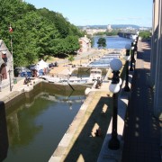
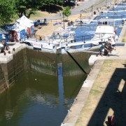
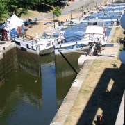
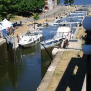
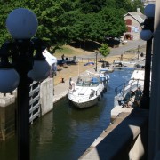
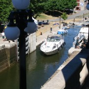
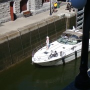
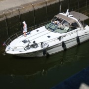
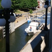
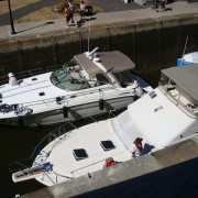
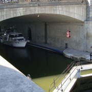
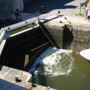
Here is a series of photos of the Rideau Canal Locks in operation on a Sunday morning, in July 2012.
[left click on any photo to view in larger format]


 Iloilo Time